Ramunių gatvė: map and information about the Ramunių gatvę and its addresses
Ramunių g. 14, Vilniaus m.
Distance to center ~2.3 km
The nearest shopping center Rimi Fabijoniškės(~ km)
Ramunių g. 15, Vilniaus m.
Year of construction 1910
Distance to center ~2.2 km
Ramunių g. 16, Vilniaus m.
Year of construction 2007
Distance to center ~2.28 km
Ramunių g. 17, Vilniaus m.
Year of construction 1935
Distance to center ~2.21 km
Ramunių g. 18, Vilniaus m.
Distance to center ~2.24 km
The nearest shopping center Rimi Fabijoniškės(~ km)
Ramunių g. 19, Vilniaus m.
Year of construction 1976
Distance to center ~2.23 km
Ramunių g. 20, Vilniaus m.
Distance to center ~2.25 km
The nearest shopping center Rimi Fabijoniškės(~ km)
Ramunių g. 22, Vilniaus m.
Distance to center ~2.21 km
The nearest shopping center Rimi Fabijoniškės(~ km)
Ramunių g. 23, Vilniaus m.
Distance to center ~2.27 km
The nearest shopping center Rimi Fabijoniškės(~ km)
Ramunių g. 24, Vilniaus m.
Year of construction 1962
Distance to center ~2.21 km
Statistics
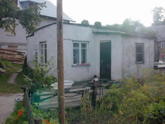
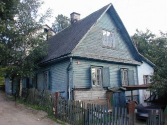
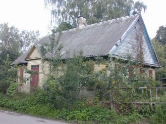
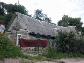
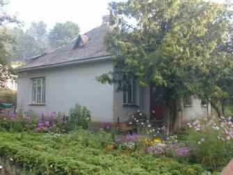
Ramunių gatvės addresses, other statistics. More information about Ramunių gatvės you can get by searching for the exact address or broasing the map.
Information
| Length of the street | ~0.52 km |
if ($livable > 0) { ?>
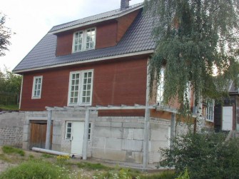
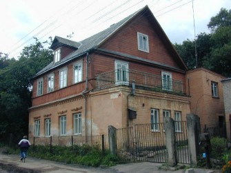
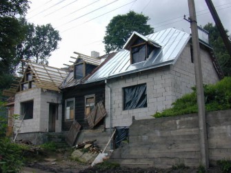
| Number of 1-2 flats residential buildings | 33 |
} ?>
if ($flats > 0) { ?>
| Number of residential buildings | 1 |
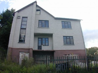
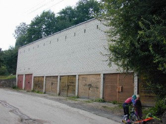
} ?>